NOAA’s Geostationary Operational Environmental Satellites – R Series (GOES-R) is the Western Hemisphere’s most advanced weather-observing and environmental-monitoring system. GOES-R Series satellites will provide continuous imagery and atmospheric measurements of Earth’s Western Hemisphere and space weather monitoring to provide critical atmospheric, hydrologic, oceanic, climatic, solar and space data. GOES-R Series environmental data products improve short-term weather forecasts, increase thunderstorm and tornado warning lead time, improve hurricane tracking and intensity forecasts, improve aviation flight route planning, provide data for long-term climate variability studies, and improve solar flare warnings for communications and navigation disruptions. The GOES-R Series also supports maritime forecasts, seasonal predictions, drought outlooks and space weather predictions. The GOES-R series (GOES-R, S, T, and U) will extend the availability of the operational GOES satellite system through 2036.
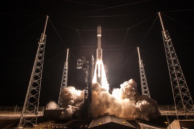
The GOES-R satellite launched on November 19, 2016, at 6:42 p.m. EDT from Space Launch Complex-41 at Cape Canaveral Air Force Station, Florida, aboard an Atlas V 541 rocket. View GOES-R launch videos and GOES-R launch images on the program website. Read the GOES-R launch press release.

GOES-R lifted off at 6:42 p.m. EST on November 19, 2016 from Cape Canaveral Air Force Station’s Space Launch Complex 41, aboard a United Launch Alliance Atlas V 541 rocket. Credit: ULA
GOES-R became GOES-16 once it reached geostationary orbit on November 29, 2016. After a series of maneuvers, conducted using the satellite’s hydrazine bipropellent thrusters (HBTs), GOES-16 placed itself in its designated 89.5 degree West longitude checkout location where it will undergo an extended checkout and validation phase of approximately one year.
GOES-16 moved to 75.2 degrees west longitude and became NOAA’s operational GOES East satellite on December 18, 2017, replacing GOES-13. From its operational location, GOES-16 is keeping watch over most of North America, including the continental United States and Mexico, as well as Central and South America, the Caribbean, and the Atlantic Ocean to the west coast of Africa. View details of GOES-16’s transition to operations.
GOES-13 now resides in storage. GOES-14 will continue to be the on-orbit spare GOES satellite in the event of an anomaly or failure of GOES East or GOES West.
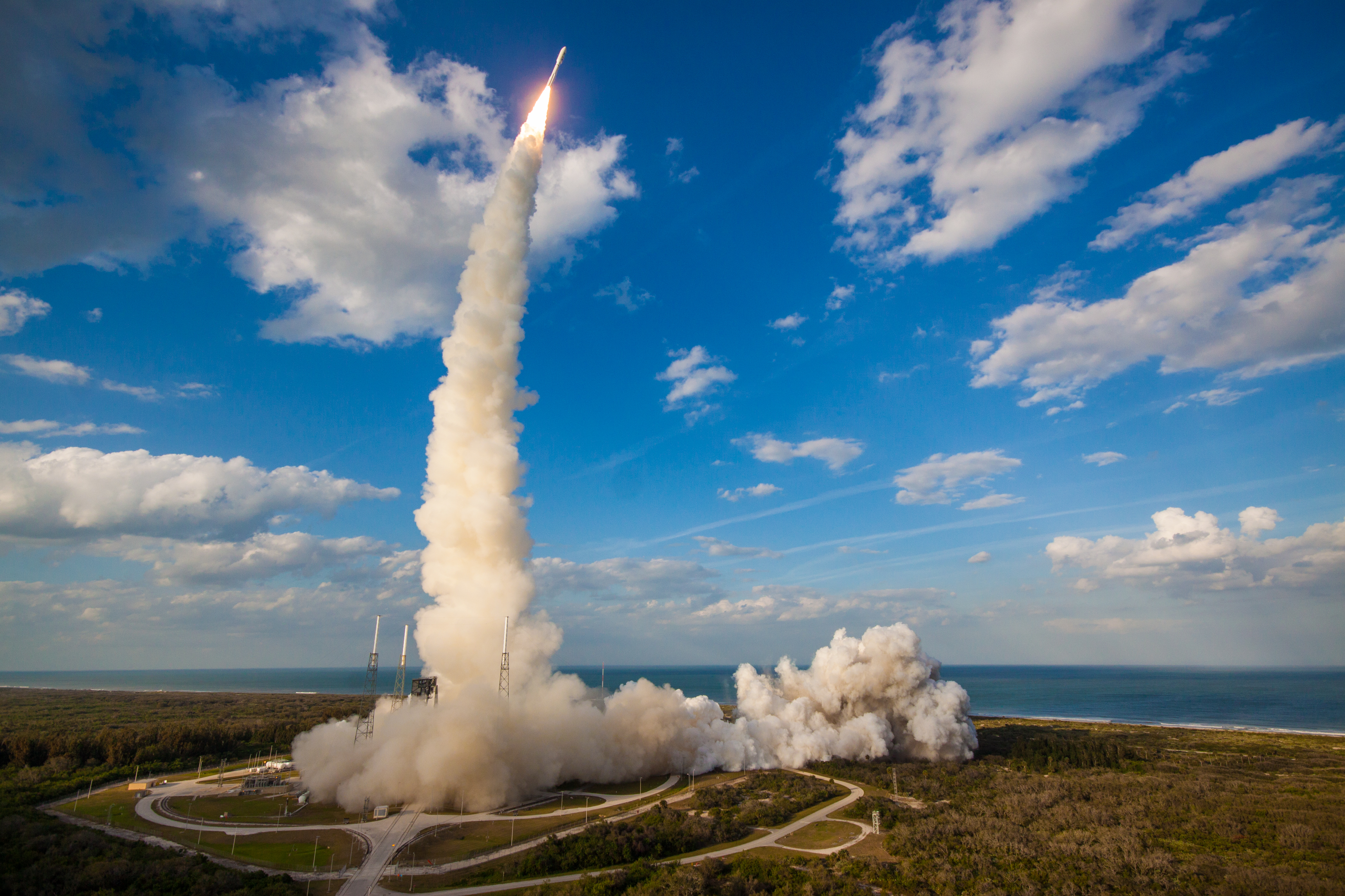
GOES-S launched on March 1, 2018, at 5:02 p.m. EST from Space Launch Complex 41 at Cape Canaveral Air Force Station, Florida, aboard an Atlas V 541 rocket. The satellite was renamed GOES-17 when it reached geostationary orbit on March 12, 2018. After post-launch checkout and testing at 89.5 degrees west longitude, GOES-17 moved to 137.2 degrees west longitude in November 2018 and underwent additional testing in it’s operational location. GOES-17 became NOAA’s operational GOES West satellite on February 12, 2019. An operational GOES-17 gives NOAA two next-generation environmental satellites watching over the Western Hemisphere, from the west coast of Africa to New Zealand.
View videos of the GOES-S launch and photos of the GOES-S launch on the program website.
GOES-15 will continue to operate alongside GOES-17 through early July 2019 to allow for assessment of the performance of GOES-17 as the GOES West operational satellite. GOES-15 drifted from its operational location at 135 degrees west longitude to 128 west to eliminate radio frequency interference with GOES-17 at 137.2 west.
GOES-R series satellites’ environmental data products support short-term 1-2 day weather forecasts and severe storm watches and warnings, maritime forecasts, seasonal predictions, drought outlooks and space weather predictions.
- GOES-R marks the first major technological advances in geostationary observations since 1994 (when GOES-I/8 launched)
- GOES-R Series satellites offer 3x more spectral channels than previous GOES with 4x greater resolution, 5x faster than ever before.
- The satellites scan the full disk every 15 minutes, the Continental U.S. every 5 minutes, and areas of severe weather every 30-60 seconds, all at the same time.
- The Geostationary Lightning Mapper (GLM) is the first operational lightning mapper flown in geostationary orbit.
GOES-R Series improvements over previous GOES:
- Improved hurricane track and intensity forecasts
- Increased thunderstorm and tornado warning lead time
- Earlier warning of ground lightning strike hazards
- Improved aviation flight route planning
- Improved air quality warnings and alerts
- Better monitor areas of smoke and dust, which can be a critical factor in visibility
- Better fire detection and intensity estimation
- Better detection of heavy rainfall and flash flooding risks
- Improved transportation safety
- Improved solar flare warnings for communications and navigation disruptions
- More accurate monitoring of energetic particles responsible for radiation hazards to humans and spacecraft
- Better monitoring of space weather to improve geomagnetic storm forecasting
- Improved detection of coronal holes, solar flares and coronal mass ejection source regions
- Improved power blackout forecasts
- Increased dynamic range, resolution, and sensitivity in monitoring solar x-ray flux
- Enhanced detection of weaker emergency beacon signals for improved search and rescue operations
- Improved Numerical Weather Prediction models
- Better data for long-term climate variability studies
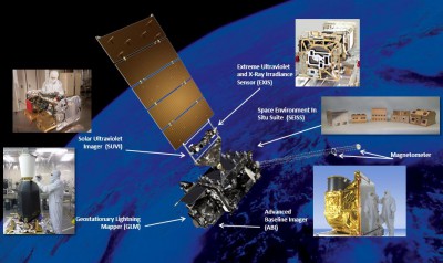
Detailed information about the GOES-R Series spacecraft and instruments can be found on the following webpages:
- Spacecraft
- Advanced Baseline Imager (ABI)
- Extreme Ultraviolet / X-ray Irradiance Sensor – EXIS)
- Geostationary Lightning Mapper (GLM)
- Magnetometer (MAG)
- Space Environment In-Situ Suite (SEISS)
- Solar Ultraviolet Imager (SUVI)
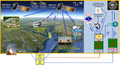
Ground support is critical to the GOES-R Series mission. NOAA developed a state-of-the-art ground system that receives data from the GOES-R Series spacecraft and generates real-time data products. This is accomplished via a core set of functional elements, an antenna system and a product access component. The GOES-R Series satellites produce 3.5 terabytes of data per day, as compared to only 90 gigabytes of data per day for current GOES and POES combined.
GOES-R FAQs: http://www.goes-r.gov/resources/faqs.html
http://www.nesdis.noaa.gov/GOES-R/index.html


