The National Oceanic and Atmospheric Administration (NOAA) Mission:
NOAA’s National Environmental Satellite, Data, and Information Service (NESDIS), provides secure and timely access to global environmental data and information from satellites and other sources to promote and protect the nation’s security, environment, economy, and quality of life.
The National Oceanic and Atmospheric Administration’s (NOAA) mission is to understand and predict changes in climate, weather, oceans, and coasts, to share that knowledge and information with others, and to conserve and manage coastal and marine ecosystems and resources as the Nation’s authoritative environmental intelligence agency.
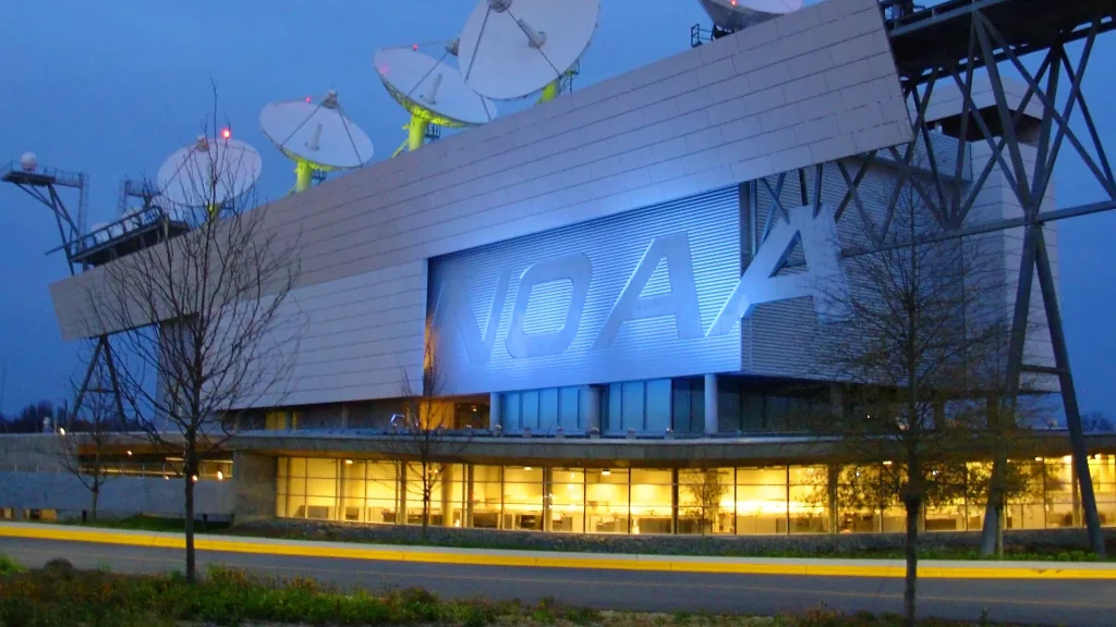
NESDIS at a Glance
- Operates the USA weather satellites, 24/7
- Acquires next-generation earth and space weather observation satellites
- Develops critical data and operational products
- Provides definitive assessments of the U.S. and global climate
- Maintains one of the most significant archives of environmental data on Earth
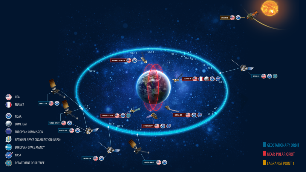
NOAA owns or operates a total of 16 satellites.
NOAA owns and operates ten satellites, which include:
- Five geostationary (GOES-14, -15, -16, -17 and -18)
- Four polar-orbiting (NOAA-15, -18, -19 and -20)
- One deep space satellite (DSCOVR)
NOAA operates but does not own, six satellites, which include:
- Suomi NPP (NASA owns)
- Jason-3 (CNES owns)
- Three Defense Meteorological Satellite Program (DMSP) satellites (F-16, F-17, F-19)
- EWS-G1 (Air Force owns, formerly GOES-13)
NESDIS is made up of numerous program offices that each manage different areas of satellite operations and acquisitions as well as environmental data and information.
Their headquarters is located in Silver Spring, Maryland, and other mission support offices are located across the United States.
Training events:
NOAA provides support to the monthly climate and weather Regional Focus Group discussions. These sessions are bi-lingual (English and Spanish). The sessions promote a community of practice to support continuing professional development.
WMO, NOAA, and Regional Partners collaborate to conduct 2 satellite workshops of approximately 5 days in length each year. One workshop is targeted for Regional Association III and the other for RA IV. Where possible, we aim to conduct the sessions in the language of the host country.
NOAA conducts a Satellite User Conference every other year to gather input from stakeholders on satellite data applications, usage, and training.
Sat Op Contact Information
Kevin Scharfenberg
National Weather Service Office of the Chief Learning Officer Chief, Forecast Decision Training Division

Bernadette Connell
Cooperative Institute for Research in the Atmosphere (CIRA) at Colorado State University (CSU), USA Senior Research Associate and Training Lead